On February, Mars entered its new year, or what is known as Year 36, and it has not long been overtaken by Earth in its orbit of the Sun.
The overall distance between Mars and Earth constantly changes because of their different speeds around the Sun, therefore the optimum launch window for missions is just once every 26 months when the planets are closer together.
NASA's Mars mission
After the huge announcement, many are now anticipating the landing of NASA's Perseverance rover on Mars on February 18, 2021. The Perseverance rover is the most sophisticated vehicle that will ever sent to land on the Red Planet.
However, Mars is already being closely observed. Since its official launch in 2016, and its other orbit insertion around the Red Planet since then, an instrument named the Color and Stereo Surface Imaging System or CaSSIS has been used to enhance scientists' knowledge of Mars' surface.
The space camera is travelling with the European Space Agency or Esa Exomars Trace Gas Orbiter, which is studying the gases in Mars' atmosphere, according to BBC.
The goal of CaSSIS is to look for a landing site for other missions that may take place in the future. One of them is Esa's Exomars mission that is set to launch in 2022.
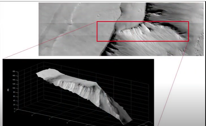
But it has also observed different minerals, craters, canyons and other geological features on the surface of the Red Planet as part of its scientific activities. The images were published on Instagram and it shows frost deposits, as well as dust storms.
Professor Nicolas Thomas, from Oswestry in Shropshire, created the high-resolution instrument and leads the project at the University of Bern in Switzerland, and it has now taken more than 20,000 images of Mars.
Professor Thomas said that there are things that they already know about but they still have a lot of information gathered thanks to CaSSIS. The ability of CaSSIS to see sedimentary layering in some areas is labeled as interesting.
Over the past few months, CaSSIS has been taking up to 300 images per week. It has a strong color capability so the findings are combined with those ultra-high resolution imaging system from NAS called HiRISE, which then flies on the Mars Reconnaissance Orbiter.
An area of Mars CaSSIS has photographed is a region that is near Sisyphi Tholus, it is where frost deposits have been documented. At high latitudes, carbon dioxide ice and frost develop and it can be seen with the cracks in the terrain.
How does CaSSIS work?
The team will select specific targets from a database before capturing them. CaSSIS flies over the surface at around 3 kilometers so the images have to be taken fast.The exposure time for the images is 1.5ms, according to Yahoo.com.
Professor Thomas stated that they get around 4.5m per pixel on the surface from a distance of 400 km, so it is like looking at a bus in London from Liverpool, as an example.
The camera also uses false-color imagery in order to enrich its findings. The colors differ from how they would show to the human eye but it also helps that the CaSSIS team search for different minerals that reflect sunlight in different colors.
Related Article: Mars has a Chandler Wobble Similar to Earth, Space Probe Finds: Here's What it Means
This article is owned by Tech Times
Written by Sieeka Khan


