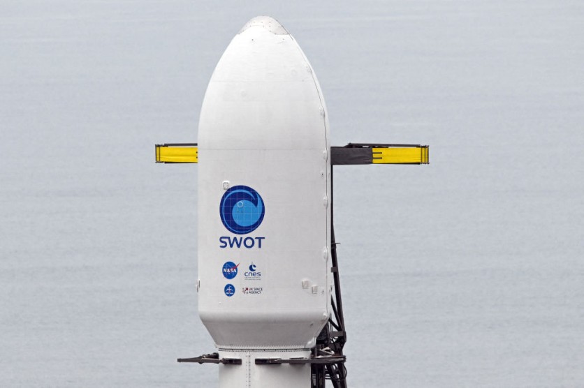
The Surface Water and Ocean Topography (SWOT) satellite provided NASA with data that allowed them to create stunning maps that show the water on Earth in never-before-seen detail. These maps show astounding ocean, freshwater lake, and river levels worldwide.
According to NASA, SWOT's first complete 21-day scientific orbit began on July 26 and ended on August 16; during this time, data for the animation was collected. Already, the abundance of data the satellite provides has scientists captivated.

Incredible Information Revealed
According to Space.com, the SWOT project manager at NASA's Jet Propulsion Laboratory in Southern California, Parag Vaze, remarked, "The detail that SWOT is sending back on sea levels around the world is incredible."
Data from the satellite's Ka-band Radar Interferometer (KaRIn) sensor was used to create the animation. KaRIn measures surface heights by reflecting radar pulses off the water's surface using two antennas spaced 33 feet apart on a boom.
With locations where water levels are below average (shown in blue) and areas where they surpass the global mean sea surface height (shown in red and orange), the animation effectively depicts the variations in sea surface heights throughout the world. According to NASA representatives, the information gathered by SWOT offers one of the most thorough perspectives on Earth's water.
"Sea level differences can highlight ocean currents like the Gulf Stream coming off the US East Coast or the Kuroshio current off the east coast of Japan," said authorities from NASA. They also noted that sea surface height shows zones "of relatively warmer water." including the eastern portion of the "equatorial Pacific Ocean during an El Niño because water expands as it warms."
Read Also : VP Kamala Harris Announces US Initiative to Combat Robocalls Using Artificial Intelligence
SWOT's Significance
To gather crucial data, the SWOT satellite was launched in December 2022 and will stay in Earth's orbit for at least three years. NASA's March report highlighted SWOT's potential advantages for water management choices such as wildlife area monitoring, coastline preservation, and hydropower, per Honeywell.
It is expected that the mission will enhance humanity's abilities to predict and address natural disasters such as droughts and floods. The high resolution of the SWOT satellite will also uncover previously unseen information about Earth's water through the KaRIn, a notable device on SWOT, designed to monitor variations in sea surface height from space precisely. The NASA Jet Propulsion Laboratory, in charge of the SWOT mission, says that its ground-breaking equipment delivers a resolution 10 times better than equivalent instruments on seven other spacecraft.
Hovering over Earth at a height of 533 miles (857 kilometers), NASA's SWOT observes water quantities covering about 90% of the globe's surface every three weeks to map out the global water levels. The data that this mission gathers helps communities prepare for climate change and understand its effects.
NASA and the French space agency CNES (Centre National d'Études Spatiales) collaborated on the SWOT satellite program. In August 2023, it recorded an ocean heat wave along California's coast, the US space agency previously reported.
Related Article : NASA's James Webb Space Telescope Determines How Far the Earth Is From 200 Galaxies

ⓒ 2025 TECHTIMES.com All rights reserved. Do not reproduce without permission.


