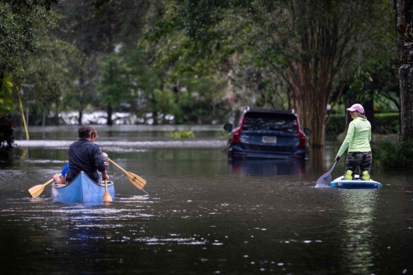
According to a NASA study, sea levels are likely rising faster than previously believed, which means low-lying coastal cities in the US may experience flooding far more frequently in the next decades.
Sea levels along the coastlines of the contiguous US might increase up to 12 inches (30 cm) above current waterlines by 2050, according to research that examined three decades' worth of satellite data.

Catastrophic Scenarios
NASA notes that the global sea level has been rising as a result of a warming climate for decades, and multiple data points that the rise is accelerating more than ever.
The most recent data are consistent with the most catastrophic scenarios mentioned in an interagency review released in February 2022.
The National Oceanic and Atmospheric Administration (NOAA), the United States Geological Survey (USGS), and other federal agencies collaborated to create that report, which predicted that sea levels will rise significantly during the next 30 years.
The average rise they predicted for the East Coast was 10 to 14 inches (25 to 35 centimeters), the Gulf Coast was predicted to rise by 14 to 18 inches (35 to 45 centimeters), and the West Coast was forecast to increase by 4 to 8 inches (10 to 20 centimeters).
Building on the techniques described in that earlier report, a team of researchers at NASA's Jet Propulsion Laboratory in Southern California used 28 years' worth of sea surface height measurements from satellite altimeters and compared them with tide gauge records from the NOAA going as far back as 1920.
NASA notes that the height of the surrounding water level is continuously measured by tidal gauges, which offer a reliable record to compare with satellite data.
The researchers stated that given the accelerating pace of sea level rise shown in satellite observations from 1993 to 2020, as well as the direction of those trends, it seems likely that future sea level rise will be higher than predicted in all locations.
Increased Danger
Even though the range of uncertainty for the Southeast and Gulf coasts is similarly wider, the trends along the US Southeast and Gulf coasts are noticeably higher than for the Northeast and West coasts.
The primary sources of this uncertainty are the impacts of storms and other climate variability, as well as the sinking or shifting of the Earth's surface naturally along various portions of the coast.
NASA adds that natural variations on Earth exacerbate the dangers of increasing sea levels.
For example, a wobble in the Moon's orbit that happens every 18.6 years will result in stronger high-tide floods throughout every US coast by the middle of the 2030s.
"A key takeaway is that sea level rise along the U.S. coast has continued to accelerate over the past three decades," JPL's Ben Hamlington, co-author of both reports, and leader of the NASA Sea Level Change Team said in a news release statement.
According to Hamlington, the effects of high-tide flooding are expected to worsen between the years 2030 and 2040 due to this moon cycle and the rising sea level.
NASA also emphasized that it is difficult to predict how quickly and how high sea levels will rise each year due to yearly variations like those caused by El Niño and La Niña.
However, Hamilton noted that estimates will be further improved since satellites continue to provide more data over time.

![Apple Watch Series 10 [GPS 42mm]](https://d.techtimes.com/en/full/453899/apple-watch-series-10-gps-42mm.jpg?w=184&h=103&f=9fb3c2ea2db928c663d1d2eadbcb3e52)


