Mars exploration has taken a leap forward with the unveiling of the Subsurface Water Ice Mapping (SWIM) project's fourth and most detailed map of potential subsurface water ice locations on the Red Planet.
This map is set to play a crucial role in determining where astronauts will land when they set foot on Mars.
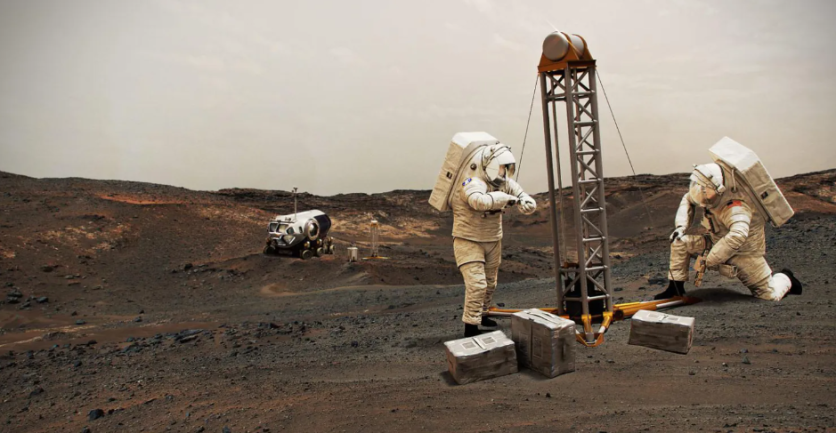
NASA's SWIM Project
Space.com tells us that the SWIM project, funded by NASA and led by the Planetary Science Institute, managed by NASA's Jet Propulsion Laboratory, has been diligently collecting data from multiple NASA Mars missions since 2017 to create a comprehensive map of potential subsurface water ice deposits on Mars.
For their most recent map, the SWIM team harnessed data from the Context Camera (CTX) and the High-Resolution Imaging Experiment (HiRISE), both located on the Mars Reconnaissance Orbiter.
These instruments provide incredibly detailed imagery of the Martian surface, enabling them to identify subtle features such as tiny impact craters that may have exposed subsurface ice, as well as "polygon terrain" created by the seasonal expansion and contraction of ice.
This information is vital for mission planners to determine where on Mars to land the first human explorers. The presence of water ice is a top priority as it provides astronauts with a critical resource for drinking water and serves as a key ingredient for rocket fuel production, reducing the need to transport excessive supplies from Earth.
The Perfect Martian Landing Zone
However, finding the right balance is crucial. While water ice is essential, landing in regions where it's too cold can pose challenges.
Cold temperatures would necessitate expending extra energy to keep astronauts warm, making it imperative to identify landing zones with accessible ice that are close to the Martian equator.
"If you send humans to Mars, you want to get them as close to the equator as you can," emphasized Sydney Do, SWIM's project manager, in a statement.
The ideal landing site would be one with the lowest possible latitude that still offers easy access to subsurface ice, ensuring both essential resources and manageable temperatures for the astronauts.
Read Also : NASA James Webb Space Telescope Discovers Rare Element in Massive Cosmic Explosion From Star Merger
Challenges of a Mars Landing
One of the challenges of exploring Mars is the absence of stable liquid water on the surface due to the planet's thin atmosphere. Any liquid water exposed to the Martian environment immediately vaporizes.
While the poles contain abundant ice, the extreme cold makes these areas inhospitable for prolonged human missions. Thus, the SWIM project focuses on the Martian mid-latitudes, where a thicker atmosphere makes it more manageable to slow down descending spacecraft and where the possibility of ice is promising.
Apart from aiding mission planning, SWIM's latest map could also help scientists refine their models of Mars' ancient climate and understand why the distribution of water ice in mid-latitudes varies. This information could potentially shed light on the planet's climatic evolution, offering insights into why some regions have more ice than others.
Stay posted here at Tech Times.
Related Article : New Computer Simulation Sheds Light on Early Galaxy Formation Aligned With NASA James Webb's Observations

ⓒ 2026 TECHTIMES.com All rights reserved. Do not reproduce without permission.


